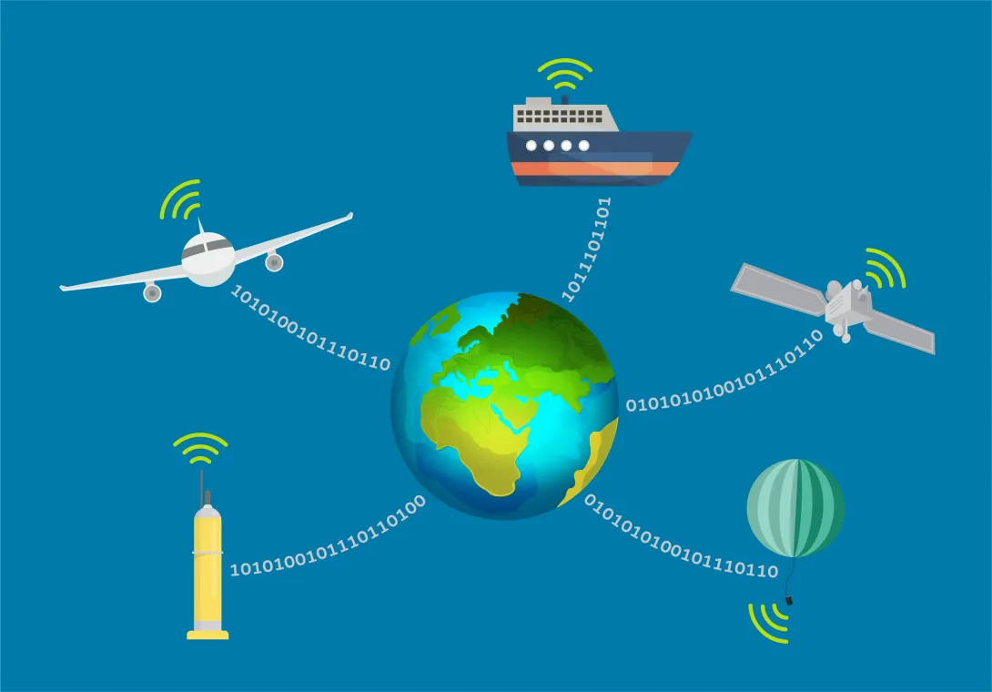
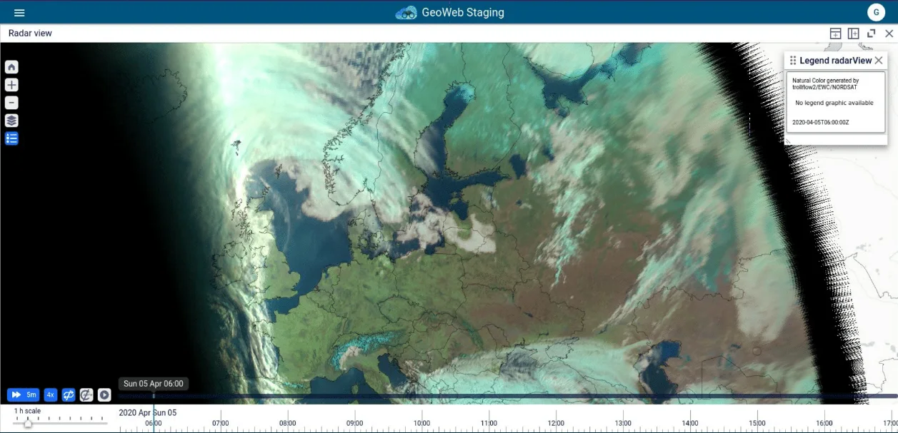
Before the EWC, each country needed to expend resources transferring EUMETSAT satellite data – including from Meteosat Third Generation and EUMETSAT Polar System-Second Generation satellites – and then creating images using local infrastructure. Now, using the EWC, they can collaborate to create one set of satellite images that they can all use and access directly.
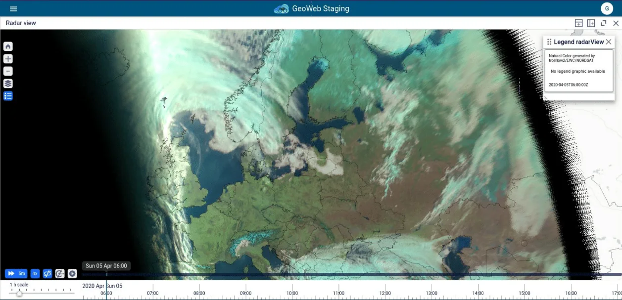
Central creation of a set of satellite images
The national meteorological and hydrological services in Iceland, Sweden, Norway, Denmark, Finland, Estonia, Latvia, and Lithuania, which together form the Nordsat collaboration, use the EWC to centrally generate a set of satellite images they can all access.
Collaboration over satellite data
Use Cases Gallery
Explore selected use cases of the European Weather Cloud


